ByJERUSALEM POST STAFF
Archeologist Josuhé Lozada Toledo said, "it was the most exhausting field experience of my career, but in the end, we found the archaeological evidence just where the computer model predicted."
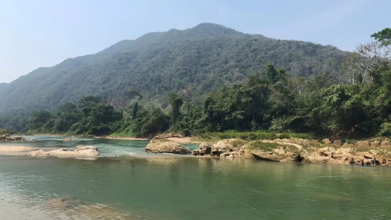
After two field seasons in the Montes Azules Biosphere Reserve, a multinational team confirmed archaeological evidence of 16th- and 17th-century Maya occupation near the confluence of the Jataté and Ixcán rivers. The find placed the lost city of Sak-Bahlán—renamed Nuestra Señora de los Dolores by colonial clerics—back on the archaeological map 256 years after it was abandoned.
National Institute of Anthropology and History archaeologist Josuhé Lozada Toledo led the work with a geographic information system model based on 17th-century chronicles, especially a 1695 letter and 1698 notes from Spanish friar Diego de Rivas. “By bringing all these variables together, I was able to make the proposal on the map and determine an approximate area where the site of Sak-Bahlán could be located,” said Lozada.
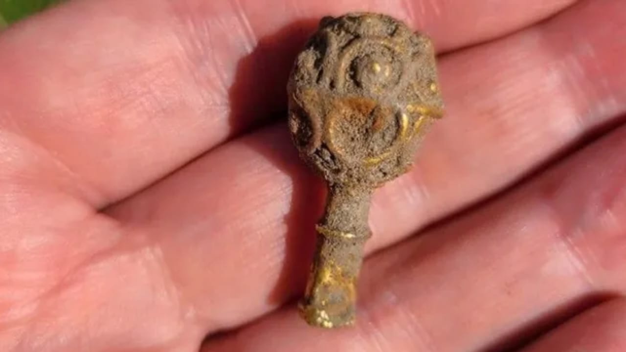
Once the mapping narrowed the search, researchers including Brent Woodfill and Yuko Shiratori opened excavation units that revealed structures consistent with Maya construction and colonial descriptions of the Land of the White Jaguar. Artifacts and architecture matched settlement patterns tied to Lakandon-Chʼol resistance against Spanish rule. A grave containing jade jewelry, painted ceramics, and a mosaic death mask dated to 350 CE indicated earlier occupation layers.
Historical records show that Sak-Bahlán was founded by survivors of the Lacandon Chʼol after the fall of their capital, Lakam-Tun, and served as one of the last independent Maya centers from 1586 to 1695. Colonial forces later subdued the site, and friar Pedro de la Concepción renamed it Nuestra Señora de los Dolores before its abandonment in 1721.
Belgian historian Jan de Vos wrote that in 1769 the mayor of Suchitepéquez, Guatemala, met the last three known survivors of the community in Santa Catarina Retalhuleu. A 1999 expedition failed to locate the ruins, but the recent investigation combined colonial documents, terrain analysis, and digital modeling to succeed. The site now appears in the Public Registry of Monuments and Archaeological and Historical Zones as Sun and Paradise, probably Sak-Bahlán, with INAH Archaeology Council endorsement.
Researchers said the Lacandon established settlements in hard-to-reach terrain to maintain independence. Ongoing material tests and refined chronologies are slated for publication in the next issue of the journal Chicomoztoc.